Channarayapatna taluk
The lead section of this article may need to be rewritten. (October 2021) |
Channarayapatna Taluk | |
|---|---|
Taluk | |
 Channarayapatna Taluk Location in Karnataka, India | |
| Coordinates: 12°54′15″N 76°23′21″E / 12.904165°N 76.389281°ECoordinates: 12°54′15″N 76°23′21″E / 12.904165°N 76.389281°E | |
| Country | |
| State | Karnataka |
| District | Hassan |
| Regions of Karnataka | Bayaluseeme |
| Government | |
| • Type | Taluk administration |
| Languages | |
| • Official | Kannada |
| Time zone | UTC+5:30 (IST) |
| PIN | 5731xx |
| Vehicle registration | KA-13 |
| Website | channarayapatna |
Channarayapatna Taluk is one of the eight taluks of Hassan District, Karnataka, India.[1] Channarayapatna town, being the taluka headquarters, lies on the Mangalore - Bangalore National highway 75 in Karnataka, India. Its popularity can be attributed to historical, religious, Coconut farming, Sugar and also in the field of Literature, Culture, Religion etc. Now it is growing predominantly towards improvements in this modern era. Taluk Office, Channarayapatna is located off the Bangalore-Mangalore highway in Channarayapatna town. The office is housed in a royal & majestic Mini Vidhana Soudha. In addition to the Taluka office, it also houses Sub-Registrar office, Sub-Treasury office & Labour Inspector offices. The Taluk Office is headed by Tahsildar who is of KAS cadre.[2] They include Shirastedars, Deputy Tahsildars, Revenue Inspectors, FDAs, SDAs & Village Accountants. Tahsildar also heads survey section which has survey supervisors, surveyors, Band Jawans, Licensed Surveyors besides managing food & civil supplies section which includes Food Shirastedar, Food Inspectors. Tahsildar has to manage muzrai section to take care of muzrai temples. In addition to conventional revenue duties Tahsildar has to perform magisterial functions as provided in CrPC. Besides revenue and magisterial duty tahsildar has to many other functions related to election, disaster management, SC/ST and Backward classes, women, children welfare etc. Overall he will be responsible for peace and tranquility of the taluk.[3] It has an average elevation of 827 metres (2716 ft). There are 40 panchayat villages in Channarayapatna Taluk,[4][5] for 407 villages.[6]
Economy
Agriculture is the major economic activity. Sugarcane & Coconut are the leading commercial crops, while food crops include Ragi, Potato, Sunflower, and Paddy.[7] The taluk also has mineral reserves, such as chromite.[7]
Demographics
As of 2011 India census, Channarayapatna has a population of 279,798. Males constitute 51% of the population and females 49%. Channarayapatna has an average literacy rate of 73%, higher than the national average of 59.5%; with male literacy of 78% and female literacy of 68%. 11% of the population is under 6 years of age.[8]
Gallery
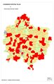
Map of Channarayapatna Taluk as per 2001 Census
Map of Channarayapatna Taluk as per 2001 Census

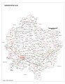
Positioning of Hassan district in Karnataka
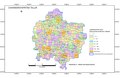
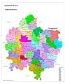
Village Map of Channarayapatna Taluk
Hobli Map of Hassan district

Hobli & Village Map of Shravanabelagola Assembly constituency, Channarayapatna Taluk

Village Map of Shravanabelagola Assembly constituency, Channarayapatna Taluk
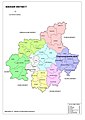
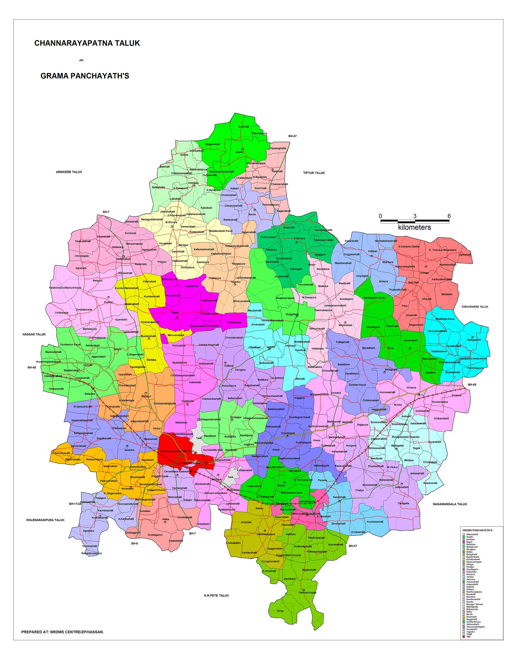
Grama panchayat and Village Map of Channarayapatna Taluk

Tourism Map of Channarayapatna Taluk
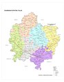
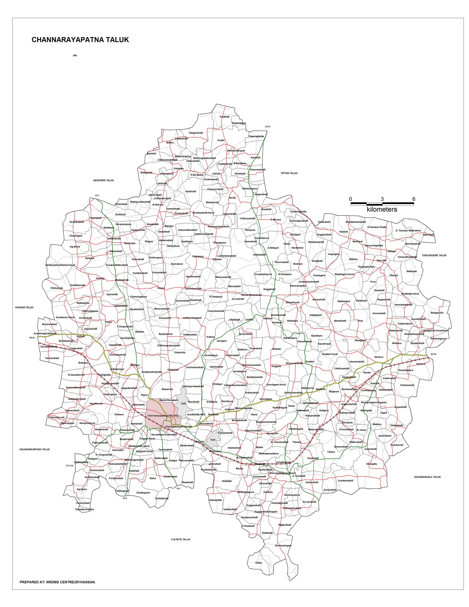
Channarayapatna Taluk - Hobli and Village Map
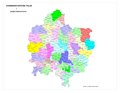
Channarayapatna Taluk - Grama Panchayat and Village Map
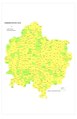
Channarayapatna Taluk Map about Fluoride content in DWS


People from Channarayapatna
- H. C. Srikantaiah, Former Minister and Member of Parliament
- S. L. Bhyrappa, novelist and professor
- Nanditha, playback singer
- C. N. Manjunath, cardiologist
- Nagaraj Kote, actor in Kannada Movies
References
- ^ ":: Channarayapatna Taluka Administration ::". channarayapatna.kar.nic.in.
- ^ ":: Channarayapatna Taluka Administration ::". channarayapatna.kar.nic.in.
- ^ "Maps, Weather, and Airports for Channarayapatna, India". fallingrain.com. Retrieved 6 October 2017.
- ^ "Reports of National Panchayat Directory: List of Census Villages mapped for: Village Panchayat Names of Channarayapatna, Hassan, Karnataka". Archived from the original on 10 February 2013.
- ^ "Map: Gram panchayats in Channarayapatna Taluk".
- ^ "Channarayapatna Taluk: Hobli-wise, VA Circle-wise Villages" (PDF).
- ^ a b "Channarayapatna Taluk Industrial Development Plan". Karnataka Department of Industries and Commerce. Archived from the original (DOC) on 28 October 2014. Retrieved 20 April 2013.
- ^ "Census of India 2001: Data from the 2001 Census, including cities, villages and towns (Provisional)". Census Commission of India. Archived from the original on 16 June 2004. Retrieved 1 November 2008.
External links
- NRDMS Centre/ZP/Hassan. "Channarayapatna Taluk Hobli-wise, VA Circle-wise Villages". Hassan district.
- Justapedia introduction cleanup from October 2021
- Articles with invalid date parameter in template
- All pages needing cleanup
- Articles covered by Project Wikify from October 2021
- Use dmy dates from September 2018
- Use Indian English from September 2018
- All Justapedia articles written in Indian English
- Articles with short description
- Coordinates not on Wikidata
- Taluks of Karnataka
- Hassan district